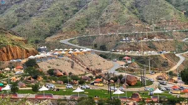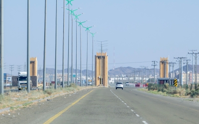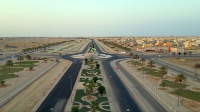
Qilwa Governorate is one of the governorates of al-Bahah Province in the southwest of the Kingdom of Saudi Arabia. It is the fifth-largest governorate in terms of population, with 9.2 percent of al-Bahah province’s population, equivalent to 31,197 people, according to the 2022 Saudi Census.
Designation and location of Qilwa Governorate
Some believe the name derives from the Arabic qalawa, i.e., intense heat, as the area is known for its soaring temperatures during the summer.
Qilwa Governorate is located in the southwestern part of al-Bahah Province, forming the main part of al-Tihami sector, and falls within the jurisdiction of al-Bahah Province. Qilwa is located between longitudes 41°-42° and latitudes 19°-20° and has over 335 villages and hamlets.
Transport in Qilwa Governorate
Residents and visitors of Qilwa Governorate rely on King Saud Bin Abdulaziz Airport in al-Bahah. It is the nearest airport, which is a local airport with a capacity of up to 250,000 passengers per year.
Livestock and agricultural wealth in Qilwa Governorate
Qilwa Governorate, as well as its administrative centers and villages, possess an animal wealth of cattle herds, cows, sheep, and camels, which are an essential source of the governorate's economy.
Due to its varying terrain, Qilwa Governorate and its centers are characterized by a variety of vegetation. The governorate extends from the Sarawat Mountains in the east to the coastal area on the Red Sea in the west. Among the governorate’s most common tree and plant species are umbrella thorn acacias (Vachellia tortilis), Sidr (Ziziphus spina-christi), salam (Vachellia flava), red mustards (Salvadora persica), tamarisks (Tamarix), al-Atm (Olea africana), sycamores (Ficus sycomorus), Dobera glabra, olibanum (Boswellia sacra), gum Arabic trees (Acacia nilotica), and a varied multitude of wild plants.
Administrative centers in Qilwa Governorate
Qilwa Governorate administratively oversees Qilwa City, comprising five centers: al-Sha’ra, located in the north of the governorate, approximately thirty km from the city; al-Rumayda, located in the western part of the governorate, approximately forty-five km from the city; al-Muhammadiyah, located in the eastern part of the governorate, approximately twenty km from the city; Reem, located north of the governorate, approximately ten km from the city; al-Sha'b, southwest of the governorate, on the terminus of al-Bahah’s boundary on the southwest side with Makkah al-Mukarramah Province boundary. Several villages belong to al-Sha'b Center, including Wadi al-Sha’b al-Shami, Muharraq, Um al-Banin, Qalfou’, villages of Wadi al-Tho’ban, Humeira, Dahou, villages of Wadi al-Sha’b al-Yamani, al-Awqa’, Sukhair, and al-Safardah.
Archaeological sites in Qilwa Governorate
Qilwa Governorate is characterized by several archaeological sites and geographical monuments, most notably the Old Dar neighborhood, the archaeological villages of al-Khulaif and al-Khalaf, as well as another group of archaeological villages: Barran, Sadr Bir, al-Gharib, and Jabal Neis.
Valleys and parks in Qilwa Governorate
Qilwa Governorate contains seven valleys, namely: Wadi Dawqa, Wadi al-Sha’ra, Wadi Yahar, Wadi Reem, Wadi Mahla, Sabah, and Sam’ah. Many parks and gardens are also spread across the governorate, such as Ruba Park, al-Farsha Park, al-Qura Park, Triangle Gardens, the garden adjacent to the General Hospital, al-Muhammadiyah Park, and Rumaidah Garden.
Related quizzes
Related articles


