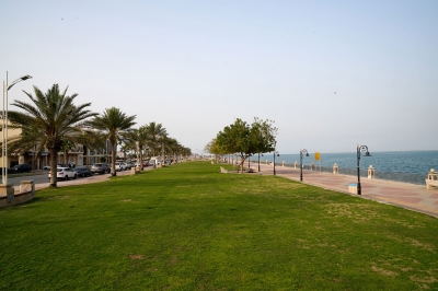
Khawr al-Udayd is one of the water inlets extending from the western coast of the Arabian Gulf. It intersects at a latitude of approximately 24°38' N and a longitude of 51°26' E. It forms a narrow channel that extends to the southwest for about thirteen km, widens to the north by approximately eight km, and also veers westward for about ten km.
The nature of Khawr al-Udayd
Khawr al-Udayd is considered one of the shallow bays, especially towards the west where it becomes increasingly shallow. The area of its water bodies is approximately 120 km. Several small islands and prominent rocks are scattered at its entrance in the Arabian Gulf and near the Saudi coast.
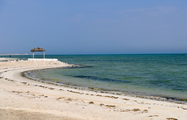
The designation 'Ras Abu Qamis' is used to refer to the cape overlooking the entrance of the Khawr from the south, which is located in the Kingdom's territory. In the southern part of the Khawr, there are a number of rocky elevations, such as Jabal al-Udayd, in addition to al-Udayd well and a collection of ancient antiques where the Khawr meets the Arabian Gulf from the south. From the north, the Khawr is surrounded by sand dunes, and from the west and southwest, there are sabkhas and sand dunes.
Borders of Khawr al-Udayd
The southwestern end of Khawr al-Udayd represents the coastal border between the Kingdom and the State of Qatar. It marks the beginning of the southern maritime front of the Kingdom, located on the Arabian Gulf and extending to the southeastern end, at the coastal border between the Kingdom and the United Arab Emirates.
Related quizzes
Related articles