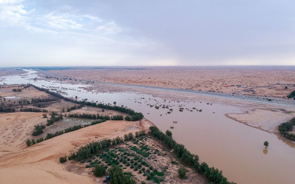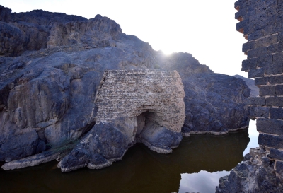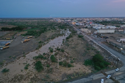
Wadi al-Rummah is one of the valleys in the Kingdom of Saudi Arabia and it is one of its seasonal watercourses. It flows from Hurrat Khaybar and traverses seven governorates, ultimately poured into al-Thuwairat Sands south of al-Asyah Governorate. It extends within the geographic boundaries of Hail and Qassim Provinces.
Features of Wadi al-Rummah
Wadi al-Rummah is the longest seasonal watercourse in Saudi Arabia, with a length of up to 510 km. It was formed during wetter periods in the Arabian Peninsula's history and is currently a tourist attraction in Hail and Qassim Provinces.
It is a natural phenomenon due to its wide width, long stretch, and its presence across a vast area, crossing from the western part of the Kingdom to the eastern part. This makes it the longest valley in the Arabian Peninsula, starting from the outskirts of Madinah al-Munawwarah, from the eastern slopes of its mountains and adjacent Hurrat areas. From there, it heads eastward, extending towards Kuwait through Qassim Province, where most of its flow is concentrated. In that specific part passing through the region, it is called Wadi al-Qassim and receives water from more than six hundred tributaries. It serves as a public park for Qassim residents.
Location of Wadi al-Rummah
Wadi al-Rummah originates from Hurrat Khaybar, north of Madinah al-Munawwarah Province, and flows from northwest to east with an average slope of two meters. It extends within the geographic boundaries of Hail and Qassim Provinces. Eventually, it drains into the al-Thuwairat Sands, south of al-Asyah Governorate, in the central part of the Kingdom.
Governorates where Wadi al-Rummah passes
Wadi al-Rummah traverses seven governorates in its path, including Unaizah, Riyad al-Khabra, ar-Rass, al-Asyah, 'Uqlat as-Suqur in Qassim Province, and al-Hayt and al-Sulaymi in Hail Province. Wadi al-Shu'bah and Wadi al-Jareer are the main tributaries contributing to its flow.
Wadi al-Rummah Basin
Most of the basin of Wadi al-Rummah is located in Qassim Province, with its outskirts extending from the southern part of Hail, the eastern part of Madinah Province, and the northwestern part of Riyadh Province.
The valley basin extends west of the black volcanic basalt rocks, rising more than 1300 m above sea level, such as Hurrat Khaybar, east of Madinah al-Munawwarah Province. The valley starts its length from Hurrat Athnain to the east of Madinah al-Munawwarah and extends to the northeast of the Kingdom, changing its course to the east and taking a southeastern direction. It continues in the same direction until it reaches the borders of Al-Thuwairat Sands and continues on its path until it reaches Dahna Desert, where some parts of the valley disappear under its shifting sands when water flows. This is why the valley is named "Al-Batin," meaning the concealed and unclear parts.
Related quizzes
Related articles


