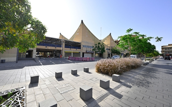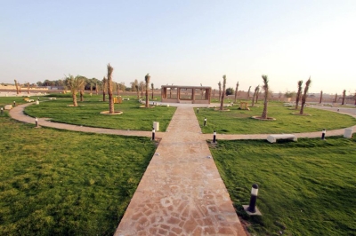

Al-Muʼaykaliyah Neighborhood or Hillat al-Muʼaykaliyah is one of the old neighborhoods of Riyadh City. The neighborhood was historically known for housing several palm groves, the most famous of which was the grove of Mohammed Bin Mu'aykal, one of the military leaders during the reign of Imam Faisal Bin Turki. The neighborhood was named after him following the clearing of those groves and the expansion of the neighborhood.
Borders of al-Muʼaykaliyah Neighborhood
Al-Muʼaykaliyah Neighborhood was located in the northwestern corner of Riyadh City. It was bordered north and west by the town wall and some nearby groves, to the south by al-Quna’i Neighborhood, and to the east by Al Suwailem Street.
In the past, the neighborhood was home to many craftsmen and tradespeople. It also featured a mosque known as al-Muʼaykaliyah Mosque and a school located east of the mosque, called Ibn Sulaiman School.
Al-Muʼaykaliyah Market Center
The Royal Commission for Riyadh City is working to restore and preserve the city's heritage features, including the development of al-Muʼaykaliyah Market Center located at the far western end of al-Hukm Palace area. The development of this center was undertaken by the Saudi Company for al-Muʼaykaliyah Market Center. The center houses around one thousand commercial shops, along with offices and residential apartments. Additionally, it has an underground parking area that can accommodate approximately two thousand cars.
Related quizzes
Related articles
