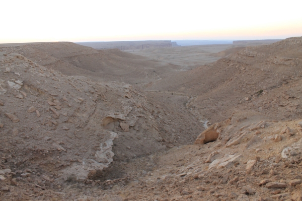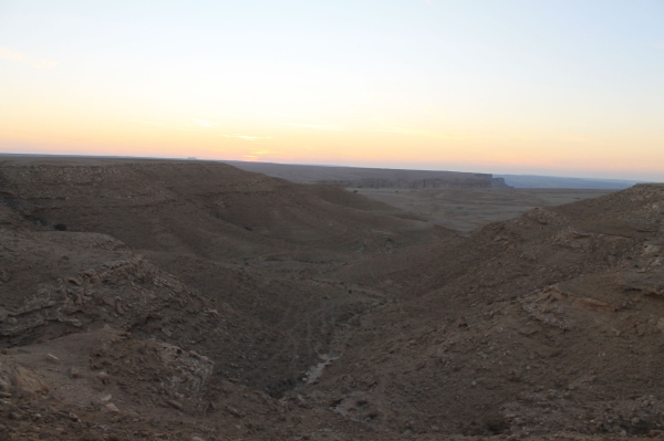

Aliyah Plateau, also known as al-Ulayyah or al-Alah, is a large plateau with steep edges, surrounded by deep valleys, ravines, and caves, including the cave of Imam Turki Bin Abdullah, who sought refuge there after the fall of Diriyah. It is located on al-Yamamah mountain within the Tuwaiq mountain range but is separated from it on all four sides by gorges. The plateau lies approximately 130 km south of Riyadh.
Features of Aliyah Plateau
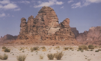
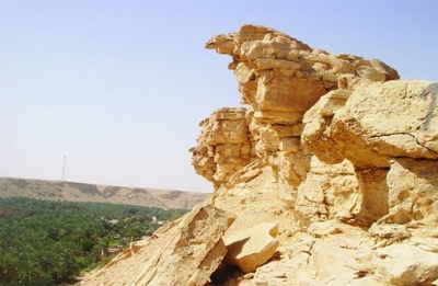
Aliyah Plateau features diverse geological formations, which have contributed to the preservation of wildlife. Its rugged and difficult terrain can be accessed through several valleys that slope eastward. One of its prominent mountain peaks is Faridah Shannah mountain, which reaches about 1,170 m above sea level. The plateau is also known for its fertile grazing lands and dense trees.
The plateau contains various geomorphological features shaped by water over time, such as rocky edges, caves, mountains, valleys, ravines, and depressions. Additionally, numerous cavities can be found throughout the plateau.
Valleys and Ravines of Aliyah Plateau
The plateau overlooks different geographical regions: to the south, the western plains of al-Kharj and Wadi Nisah, to the north, Wadi Na’am, Al-Hariq, and Asfal Al-Houta, and to the west, several valleys, including Marqan, al-Jufair, al-Majhoola, and Hunaithilah.
Several major valleys originate from the plateau. To the east, towards al-Kharj, flow Wadi Balajin, al-Ain, Mawan, Wuthaylan, Tamir, Suweis, and Abu Sahra. To the north, towards Wadi Nisah, flow several tributaries, including al-Samriyat, al-Jaz’i, Sadha, Kahla, Kaheel, Qudairat, Maqbour, Al-Bada’a, Al-Baroud, and Al-Qa’daniyah.
To the west, the plateau feeds Wadi Al-Jufair, which meets Wadi Nisah. Water from the plateau flows westward into the valleys of al-Hariq. To the south, several streams originate, such as al-Ziriyah, al-Kalbah, al-Wajah, Yusad, Rumaythan, al-Shu’aib, Barqah, and al-Lihmah.
The largest valleys of the plateau flow over Al-Yamamah Mountain formation, gradually descending eastward to reach the eastern plains. At the western edge of the plateau, there is an elevated area called al-Reesh, which extends from north to south. Water from its eastern side feeds the plateau’s eastern valleys, while water from the western side flows over an elongated formation known as Radifah. Within Radifah, a high hill overlooks the plateau’s slopes and intertwined ravines.
Additionally, the plateau contains deep natural reservoirs (Qulat) that store large amounts of water for long periods. These reservoirs are vital watering sources for nomads and their livestock. Some of the well-known Qulat include Umm Lusafah, Umm Shaqam, and al-Maseel in Kahla ravine, as well as al-Awja, Dhulma, and Umm Bateiha in Kaheel ravine.
Imam Turki Bin Abdullah Cave in Aliyah Plateau
Aliyah Plateau is home to several caves, including Imam Turki's Cave, located northwest of the plateau. Imam Turki Bin Abdullah, the founder of the Second Saudi State, sought refuge there after the fall of Diriyah, the capital of the First Saudi State. He used it as a base for his movements and strategic planning to reclaim his ancestral rule, staying there for nearly two years.
The plateau is inhabited by Al Shamer tribe, from which Imam Turki bin Abdullah married Huwadiyah Bint Ghaidan.
Related quizzes
Related articles


