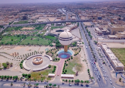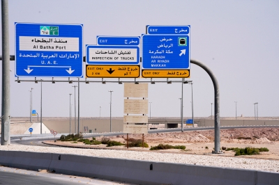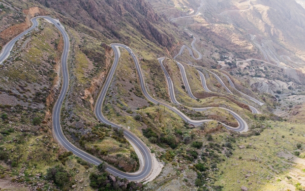
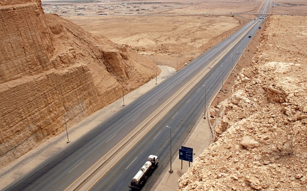
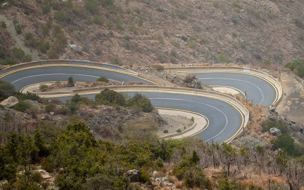
Roads in the Kingdom of Saudi Arabia are the main, secondary, and tertiary roads that connect the regions, cities, and provinces of the Kingdom. The total length of the completed roads in the Kingdom is about 71,500 km.
The construction and development of land roads in the Kingdom date back to the year 1927, and the paving of roads in multiple regions of the Kingdom dates back to 1938. This culminated in the construction of a national network of streets and highways, with the Roads and Buildings Law being approved in 1941.
Classification of roads in the Kingdom
In 1985, the Saudi Ministry of Transport and Logistics Services initiated a functional classification for its road network, updated in 1998. This system outlines the main routes, and starting and ending points for each road, with primary directions extending from the south to the north and from the west to the east. Based on this, roads were categorized into: main roads, marked by one or two digits, connecting major cities; secondary roads, marked by three digits, linking medium-sized cities to the main roads; and tertiary roads, identified by four digits, connecting smaller settlements and villages to the broader network.
Road lengths in the Kingdom
The Ministry of Transport and Logistics Services has constructed and oversees the maintenance of expressways spanning over five thousand km, marking them as some of the most significant projects undertaken. Single-lane roads stretch for fifty thousand km, dual carriageways for twelve thousand km, in addition to 144,000 km of paved dirt roads.
Some regions and cities include circular routes and bridges, with the total number of bridges reaching up to five thousand. There are also mountain roads in hilly regions, predominantly in the southern part of the Kingdom.
Most roads feature service stations for expressways and parking spaces to cater to supply needs. Typically, transitions from one expressway to another are facilitated via bridges and tunnels.
Speed limits on roads in the Kingdom
In 2018, the Kingdom updated the permissible speed limits on its roads based on vehicle types and the specific routes being used. This was clarified for drivers through signposts indicating the start and end points of the speed limits to be adhered to on the roads.
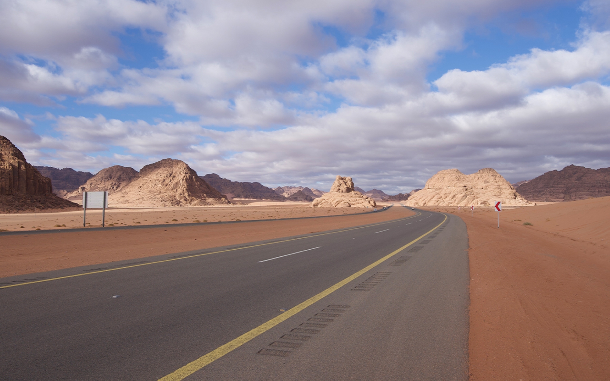
For some expressways, the speed limit for small cars can go up to 140 km/h, for buses it's one hundred km/h, and for trucks, it's set at eighty km/h. Regarding main roads, the speed limits are 120 km/h for small cars, ninety km/h for buses, and sixty km/h for trucks.
Road signs are distributed throughout the roads, some of which are warning signs, while others are informative or educational. Among the most prominent are: No overtaking for cars, maximum load of ten t, no passage for tractor vehicles, no stopping or waiting, slippery road, uneven road, dangerous descent, intersection of a main road with a secondary one, two bends, the first to the right, two bends, the first to the left, Information sign for a repair center, gas station, among other signs.
Road monitoring in the Kingdom
In 2016, the Ministry of Transport and Logistics Services established a control room with an intelligent transport system and a tunnel monitoring and control system. Additionally, they activated standard, electrical, and preventive maintenance contracts, as well as contracts for surveying and evaluating bridges and facilities throughout the Kingdom. This involved surveying the treatment pattern consistent with the total route lengths in the Kingdom, evaluating it, and defining it according to the best global practices to transform them into smart roads.
Furthermore, the Kingdom adopts an automated system for traffic violation control and management, known as the Saher system, which covers all regions of the Kingdom. It uses a network of digital cameras connected to the National Information Center affiliated with the Ministry of the Interior, aiming to ensure a safe traffic environment and enhance the efficiency of the existing road networks.
Related quizzes

